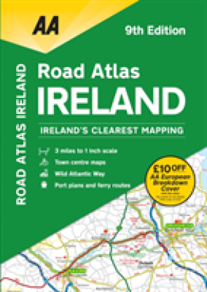
This atlas includes AA approved camping sites, viewpoints, picnic sites, port plans and ferry routes. Plus, motorway strip maps detailing all of Ireland's motorway junctions. Toll motorways and motorw ...Celý popis
This atlas includes AA approved camping sites, viewpoints, picnic sites, port plans and ferry routes. Plus, motorway strip maps detailing all of Ireland's motorway junctions. Toll motorways and motorway service areas are clearly highlighted. There are 10 detailed city and town plans with street indexes of Belfast, Cork, Londonderry, Dublin, Galway, Killarney, Kilkenny, Limerick, Sligo and Waterford. An easy-to-read 3,500 place name index includes top tourist sites, airports and service areas. Irish language areas are shown on the main mapping with place names in both English and Irish. District maps of Dublin and Belfast show the surrounding area in more detail and a clear route planner map is included for journey planning across the county. Ireland's clearest mapping, fully updated in an A4 3 miles to 1 inch format. New features on the mapping include the Wild Atlantic Way route.
Proč nakupovat na Enbooku?
Velký výběr
Nabízíme miliony knih v angličtině. Od beletrie až po ty nejodborněji odborné.
Poštovné zdarma
Poštovné už od 54 Kč a při objednávce nad 1499 Kč doprava na pobočku Zásilkovny zdarma.
Skvělé ceny
Ceny knih se snažíme držet při zemi a vždy pod cenou doporučovanou vydavatelem, aby si je mohl koupit opravdu každý.
Online podpora
Můžete využít online chatu, emailu nebo nám zatelefonovat.
Osobní přístup
Nejdůležitější je pro nás Vaše spokojenost. Prodáváme knihy, protože je milujeme. Nejsme žádní nadnárodní giganti, ale poctivá česká firma.