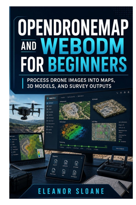
Turn Ordinary Drone Photographs into Accurate Maps, Elevation Models, Point Clouds, and Detailed 3D Reconstructions
Capturing aerial photographs is only the beginning. To transform those images into useful mapping products, you need the right flight plan, a properly prepared dataset, suitable processing settings, and a reliable method for checking the final results.
OpenDroneMap and WebODM for Beginners provides a practical, step-by-step introduction to processing drone imagery with powerful open-source photogrammetry tools. Written for beginners, drone pilots, GIS learners, survey technicians, construction professionals, researchers, and mapping enthusiasts, this guide explains the complete workflow without burying you in unnecessary technical language.
You will begin by understanding how overlapping photographs become tie points, point clouds, textured surfaces, orthophotos, and elevation models. You will then learn how to plan flights that process successfully, audit your photographs, install the required software, select appropriate processing options, diagnose weak reconstructions, and prepare professional deliverables.
Inside this practical guide, you will learn how to:
- Understand the roles of OpenDroneMap, WebODM, processing engines, and processing nodes
- Plan drone-mapping flights using suitable altitude, overlap, camera angles, and ground sampling distance
- Prepare, organise, inspect, and audit drone image datasets
- Choose suitable computer hardware and installation methods
- Install and configure WebODM on Windows, macOS, or Linux
- Complete your first browser-based WebODM project
- Process drone photographs directly with OpenDroneMap commands
- Create reusable processing profiles for maps, terrain, point clouds, and 3D models
- Troubleshoot failed image alignment, missing areas, distorted edges, and resource errors
- Export georeferenced orthophotos and open them in QGIS
- Produce digital surface models, digital terrain models, hillshades, and contours
- Inspect and deliver dense point clouds and textured 3D reconstructions
- Improve accuracy with ground control points, checkpoints, RTK, and PPK positioning
- Calculate distances, areas, stockpile volumes, and cut-and-fill changes
- Process oblique, multispectral, and thermal image datasets
- Automate projects, manage processing nodes, create backups, and scale larger workloads
- Document coordinate systems, processing settings, accuracy, and project limitations honestly
Practical exercises, workflow checklists, troubleshooting matrices, processing profiles, report templates, and three complete mapping projects help you move from theory to real-world results.
Whether you want to map a construction site, measure a stockpile, monitor terrain, inspect a property, create an agricultural map, or build a detailed 3D structure model, this book gives you a dependable path from raw photographs to usable geospatial outputs.
Stop guessing at processing settings. Start producing drone-mapping results you can inspect, explain, and deliver with confidence.